
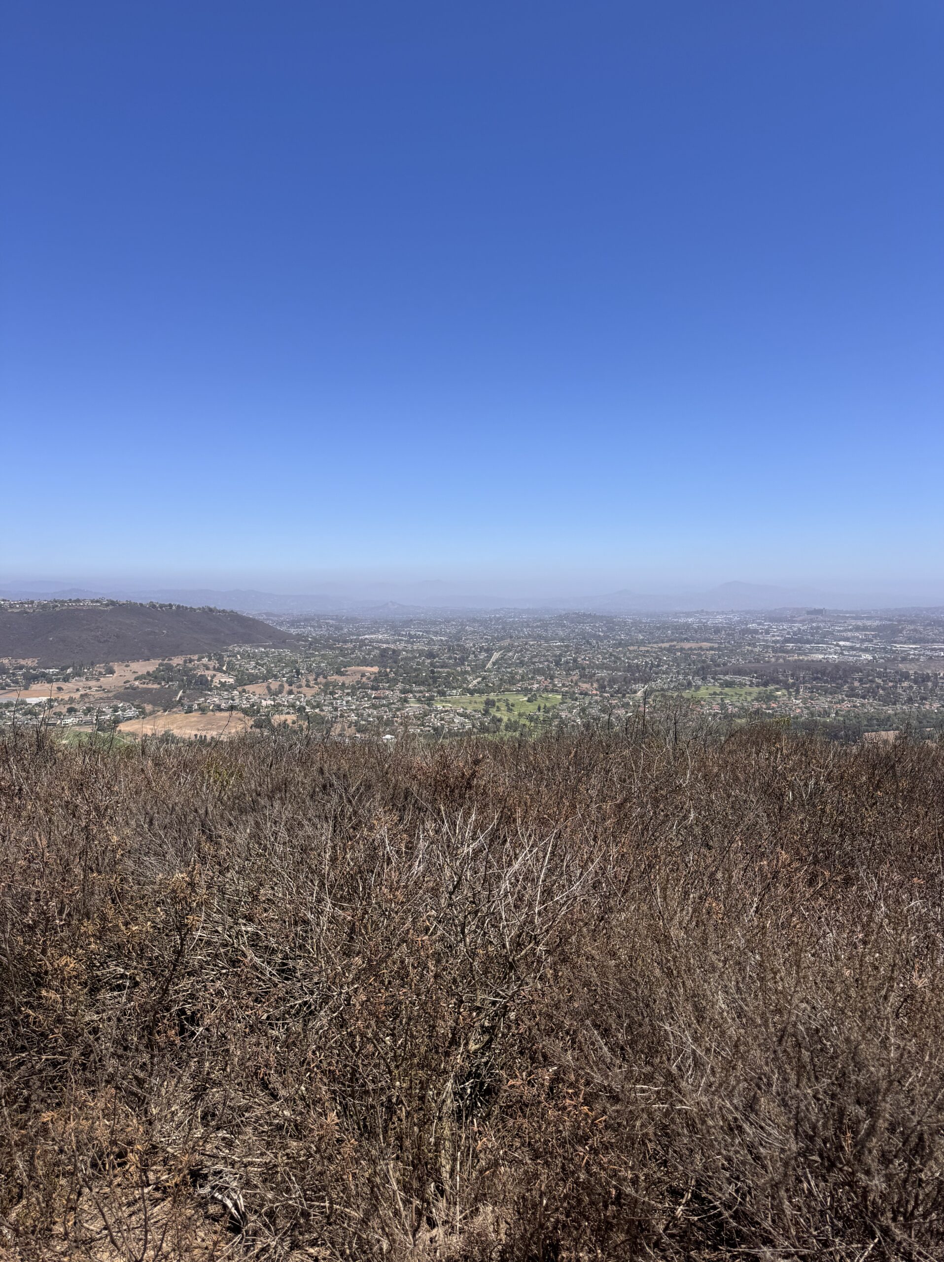
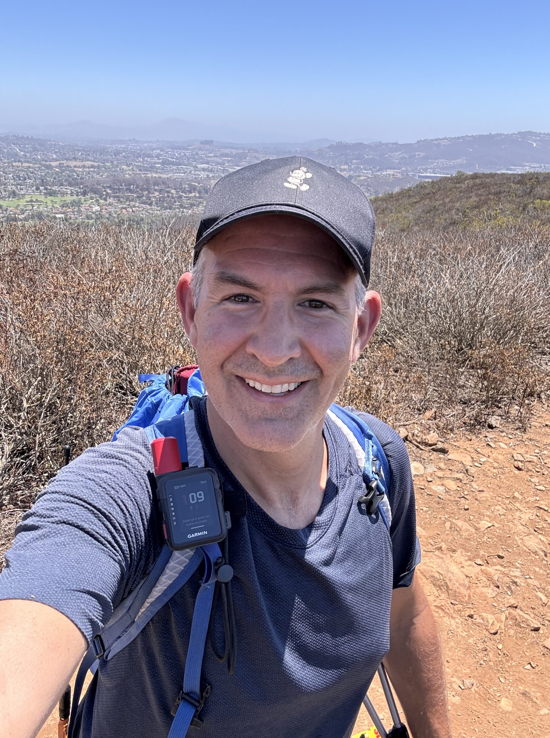
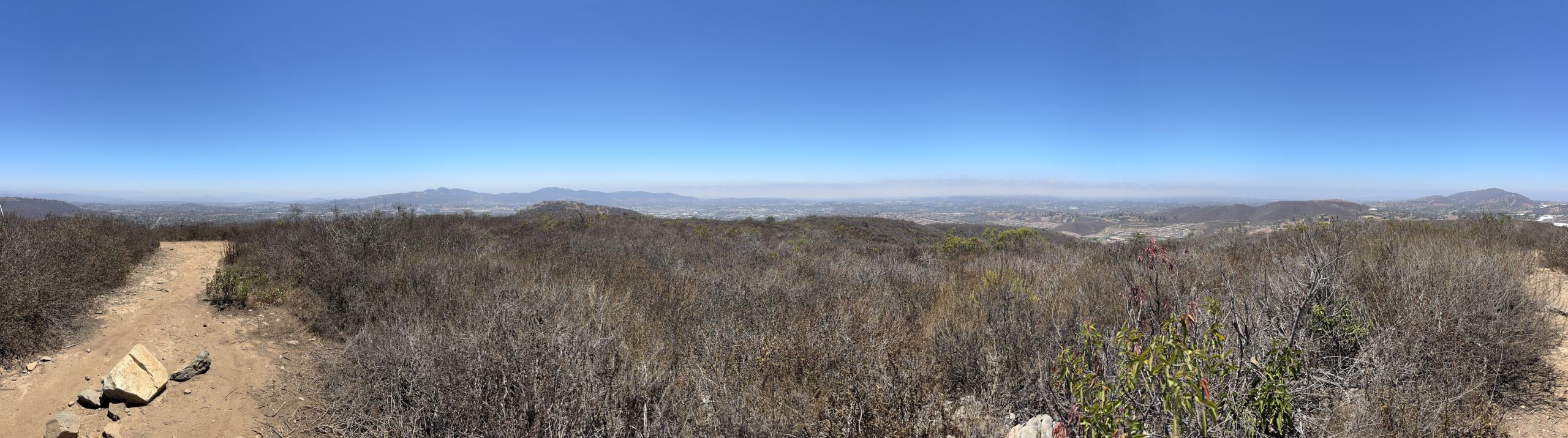
What a beautiful day for a hike! I drove in a little early to Carlsbad CA before a business meeting I was attending. This summit popped up as near the hotel so I decided to go check it out.
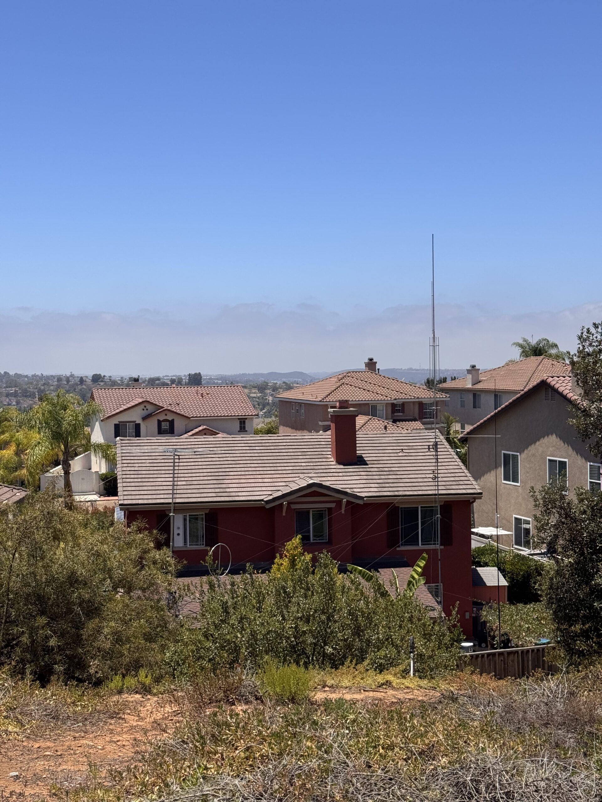
Parking was easy in a residential neighborhood, with a clear trailhead split between two houses. There was a ham with plenty of antennas a few doors south of the trailhead (see pic).
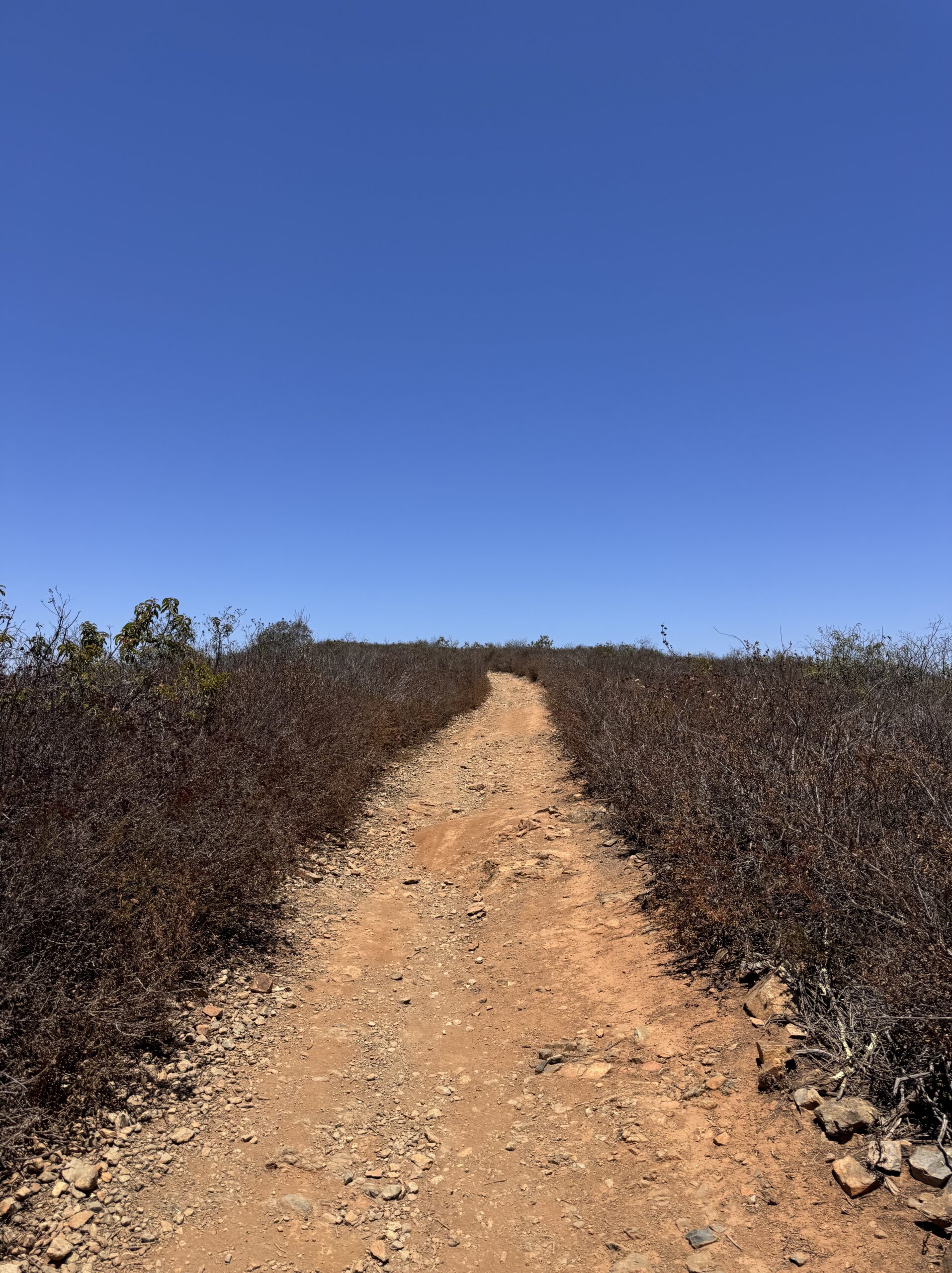
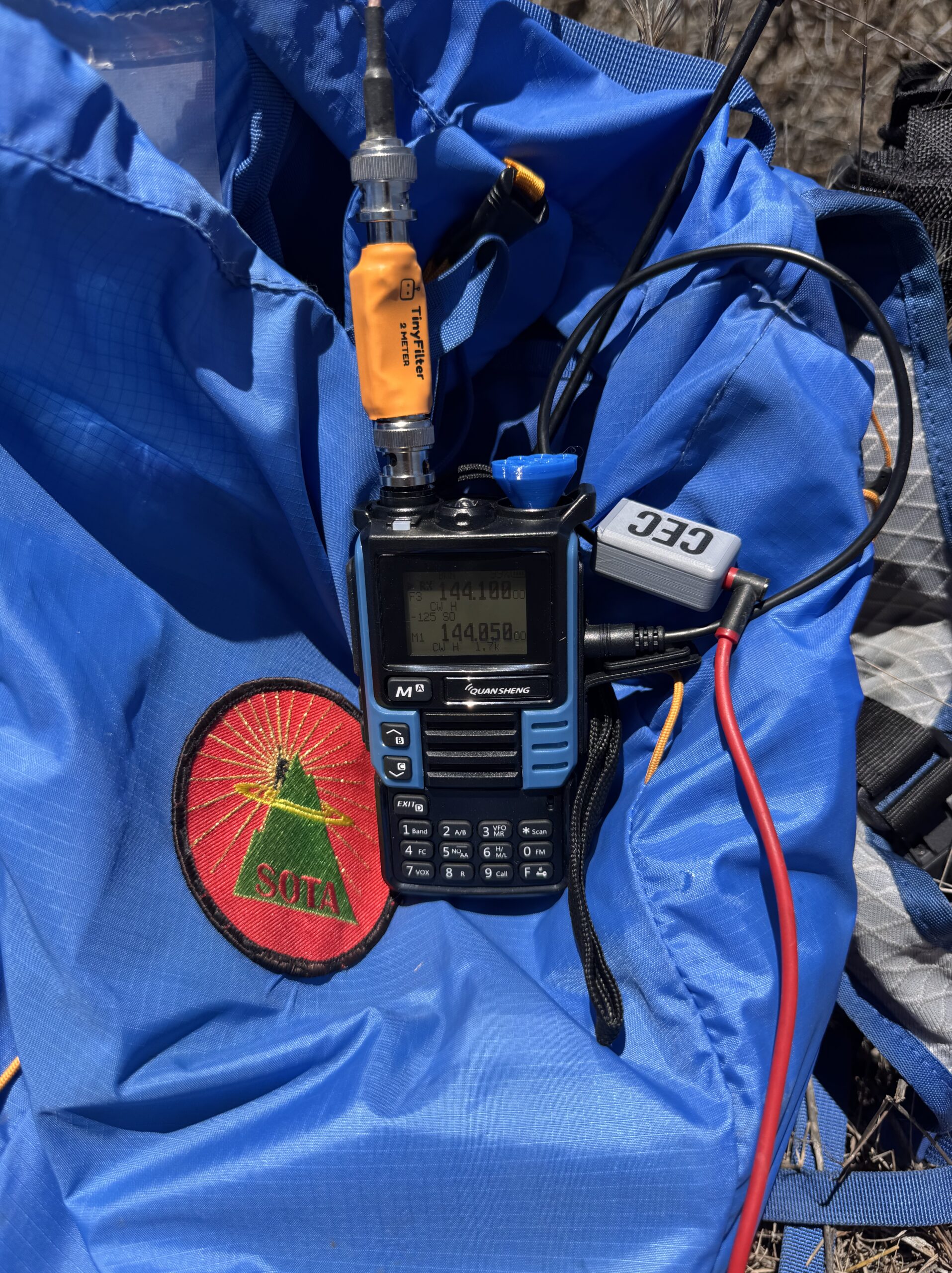
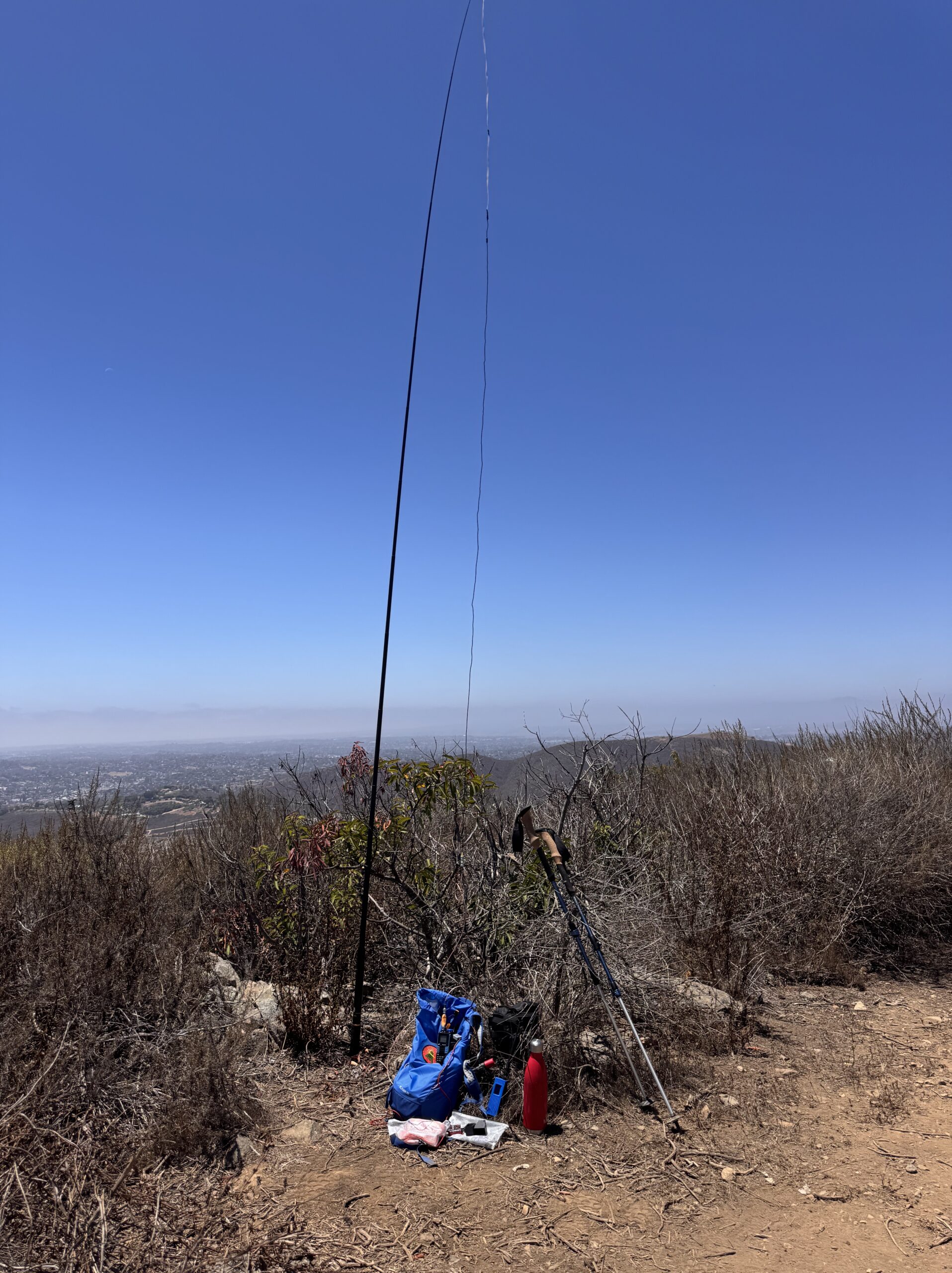
The initial climb was a bit steep, but leveled off once I got to the ridge line. I had a snack and hydrated before setting up. This would be my first activation with my new 2m bandpass filter, the Tiny Filter by N6ARA and K6STR. It was neat to get Mike K6STR in the log on this activation using his filter design. Thanks again Mike!
As I was packing up to head out, I flipped up to 146.580 to see if there was any activity there. That’s where I found KO6IHG calling CQ SOTA. He indicated it was his first time activating, and that he was on Mt Helix. I’ve looked at that summit before, it’s a drive up. Sadly, there was a station all the way up in Los Angeles that was rag chewing on frequency and trashing all over the new activator. He clearly could’t hear any of the QRP stations activating, but we could definitely hear him! Public service announcement: Please don’t rag chew on 146.580
Activation Hike Path
How Hike Stats Are Calculated
These figures are derived automatically from your GPX track file.
Hiking Time & Distance
Time and distance accumulated while moving outside the activation zone at a speed above the stationary threshold (default 0.3 km/h). Periods where you were stopped — waiting at a trailhead, taking a break — are excluded and counted separately as Rest Breaks.
Rest Breaks
Stationary periods outside the activation zone lasting longer than the rest threshold (default 3 minutes). Anything shorter is ignored as normal GPS noise or a momentary pause. Rest break time is shown inside the Hiking Time box for reference but is not added to hiking time.
Activation Time
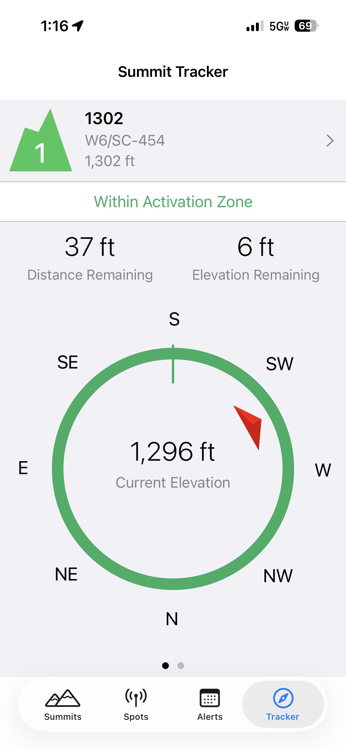
All time spent inside the activation zone, regardless of whether you were moving or stationary. This captures the full period from when you first entered the zone to when you left — including any walking around the summit, setting up gear, and operating.
The activation zone boundary is determined by one of two methods (see below).
Total Time
The elapsed time from the first to the last GPS trackpoint in the file. This equals Hiking Time + Activation Time + Rest Breaks + any unclassified transition time at the boundaries.
Elevation Gain & Loss
The cumulative altitude gained and lost across all trackpoints. Each uphill step between consecutive points adds to gain; each downhill step adds to loss. Out-and-back routes will show roughly equal gain and loss.
Hiking Speed
Average speed calculated as Hiking Distance ÷ Hiking Time. Only moving segments outside the activation zone are included, so rest stops and summit time do not drag the average down.
Peak & Base Elevation
The highest and lowest elevation values recorded in the GPS track. The highest point is also used as the starting reference for the activation zone when the API method is used.
Activation Zone Methods
API-based zone (currently active): The boundary is retrieved from activation.zone using Digital Elevation Model (DEM) terrain data and the official SOTA rule — the zone extends to where the terrain drops 25 metres below the summit. This is the most accurate method and matches what SOTA adjudicators use.
Contact Map
Activation Logbook
My Summit: W6/SC-454
| Date / Time | Callsign | Frequency | Mode | Their Summit | Comments |
|---|---|---|---|---|---|
| July 9, 2026 20:36 | NT6E | 144.100 | CW | ||
| July 9, 2026 20:47 | W6KK | 144.100 | CW | ||
| July 9, 2026 20:48 | K1CT | 144.100 | CW | ||
| July 9, 2026 20:50 | K6STR | 144.100 | CW | ||
| July 9, 2026 21:03 | KO6IHGS2S | 146.580 | FM | W6/SC-352 |


Leave a Reply