
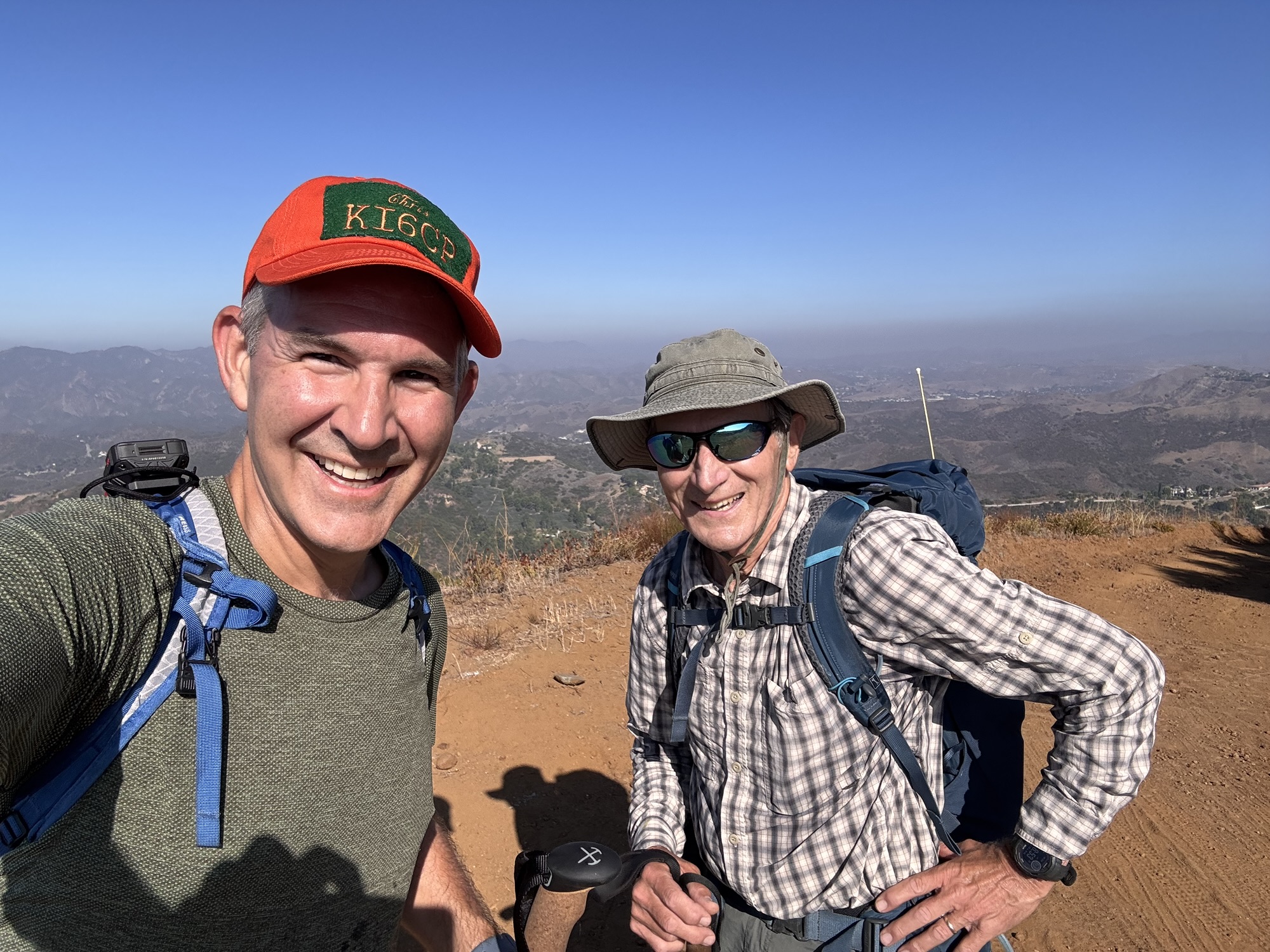
What a beautiful day for a hike!!! This was originally one my my bi-monthly NERD HIKES that I host for non-hams.. but unfortunately the few attendees I expected were unable to attend. To help get some of these newbies on the air, Tom KE6SRO had agreed to join for the activation. It’s hard to find a summit he and his spouse Carol KE6SRN have not activated already this year. Tom indicated that they had been to 98 summits already for the year. WOW!
Despite already collecting SOTA points for this summit, he agreed to join me for my activation. Tom had a gift for me, a KI6CR callsign hat! Carol must make these by hand at home, it looks just like her and Tom’s hats I’ve seen them wearing in the past. I love it!
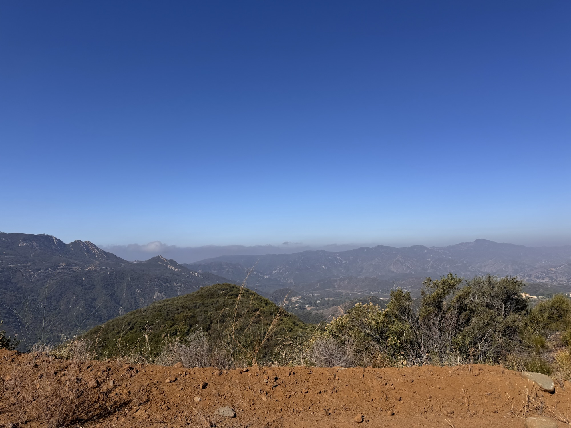
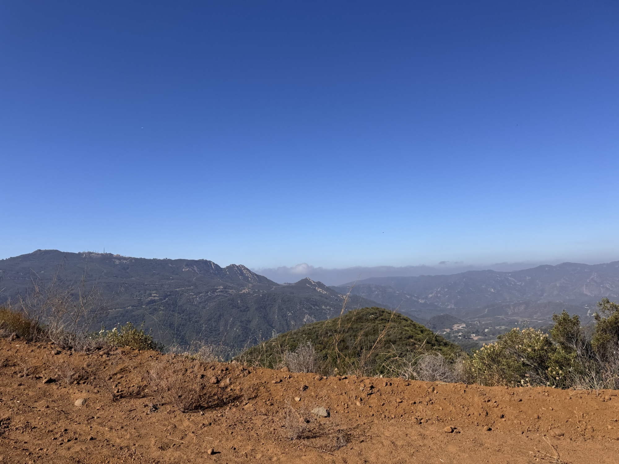
We had a lovely hike to the summit with the ocean breeze keeping us cool throughout. When we got to the summit, Tom set up his Arrow 4 element 2m beam so I could use it to make a few contacts.
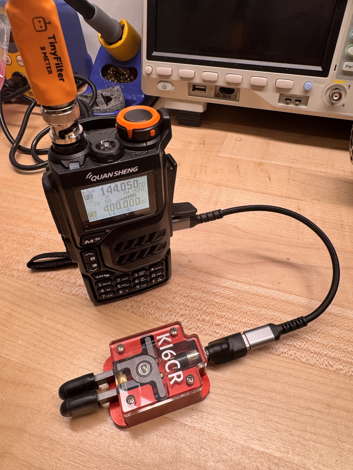
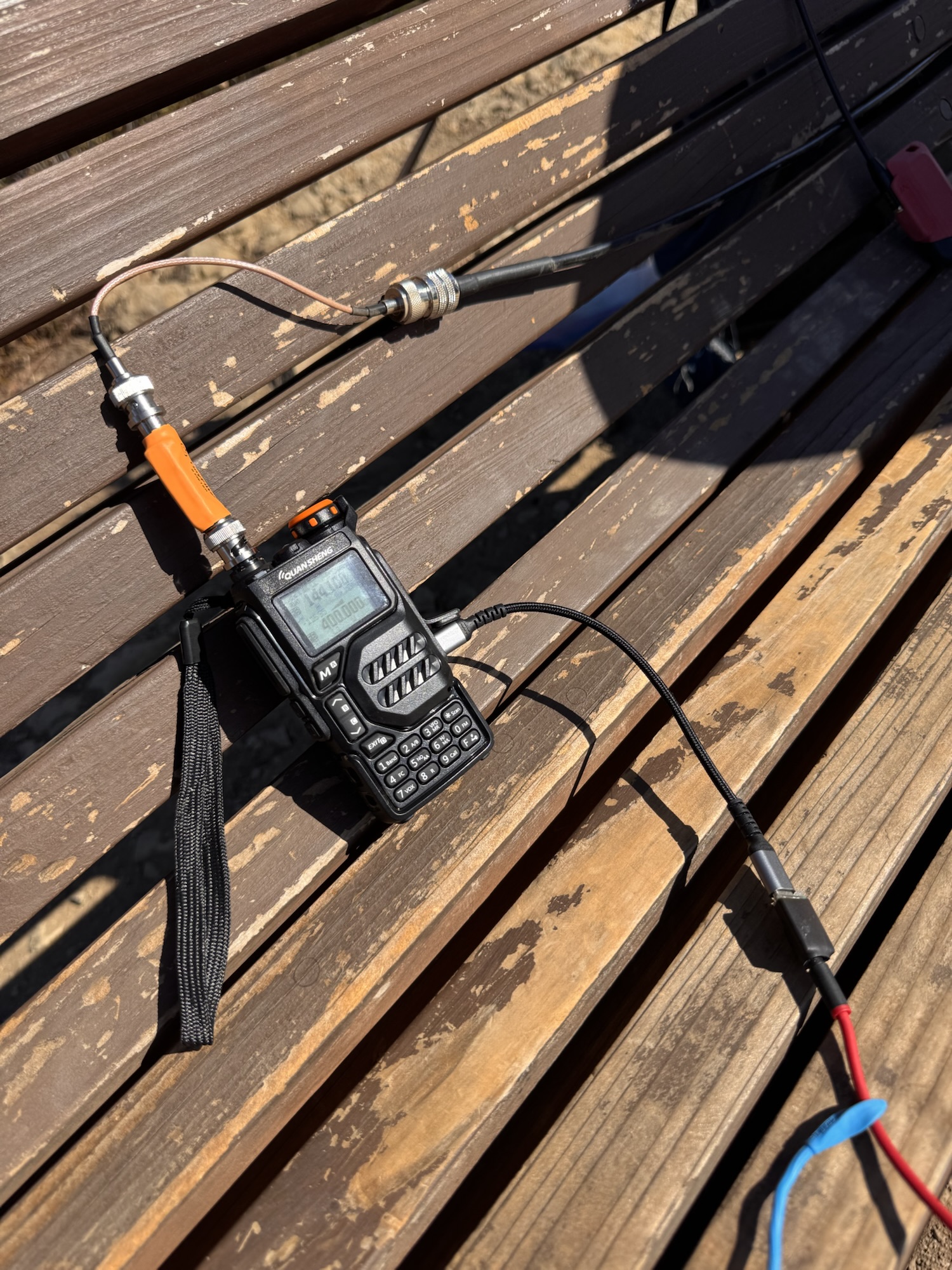
He had an amp with him also, but I opted to stick with my 5 watt Quansheng UV-K5. This was a new to me Version 3 iteration of this radio, and I brought a USB-C to 3.5mm adaptor fresh from KI6CR-LABS.COM
After a few QSO, I moved to my Elecraft KH1 radio outfitted with my latest micro KH1 CW key. Tom was feeling a little shy over his CW skillset but was eager to observe the radio in action. Made a few QSO and showed off how easy it was to deploy and HF rig and make contacts. I suggested he get one for Carol for her next birthday or holiday 🙂
In the middle of our activation, we were joined by a crew of about 20 firefighters all getting in some physical training. These guys were all in long pants and carrying chainsaws! We made some small talk and chatted about Summits on the Air with a few. A gentle reminder that I need a handout or way to help onlookers learn more or get in touch.
Thank you Tom for the great conversation and camaraderie for this activation!

Activation Hike Path
(5m breaks)
How Hike Stats Are Calculated
These figures are derived automatically from your GPX track file.
Hiking Time & Distance
Time and distance accumulated while moving outside the activation zone at a speed above the stationary threshold (default 0.3 km/h). Periods where you were stopped — waiting at a trailhead, taking a break — are excluded and counted separately as Rest Breaks.
Rest Breaks
Stationary periods outside the activation zone lasting longer than the rest threshold (default 3 minutes). Anything shorter is ignored as normal GPS noise or a momentary pause. Rest break time is shown inside the Hiking Time box for reference but is not added to hiking time.
Activation Time
All time spent inside the activation zone, regardless of whether you were moving or stationary. This captures the full period from when you first entered the zone to when you left — including any walking around the summit, setting up gear, and operating.
The activation zone boundary is determined by one of two methods (see below).
Total Time
The elapsed time from the first to the last GPS trackpoint in the file. This equals Hiking Time + Activation Time + Rest Breaks + any unclassified transition time at the boundaries.
Elevation Gain & Loss
The cumulative altitude gained and lost across all trackpoints. Each uphill step between consecutive points adds to gain; each downhill step adds to loss. Out-and-back routes will show roughly equal gain and loss.
Hiking Speed
Average speed calculated as Hiking Distance ÷ Hiking Time. Only moving segments outside the activation zone are included, so rest stops and summit time do not drag the average down.
Peak & Base Elevation
The highest and lowest elevation values recorded in the GPS track. The highest point is also used as the starting reference for the activation zone when the API method is used.
Activation Zone Methods
Radius method (currently active): The activation zone is approximated as a circle of 50 metres around the highest GPS point. This is less precise than the API method because it ignores terrain shape, but works without an internet lookup or summit reference in the log.
For better accuracy, turn on terrain-based activation zones in Settings → Activator Toolkit and make sure your log includes the summit reference.
Contact Map
Activation Logbook
My Summit: W6/CT-214
| Date / Time | Callsign | Frequency | Mode | Their Summit | Comments |
|---|---|---|---|---|---|
| July 17, 2026 16:30 | KE6EEK | 144.100 | CW | ||
| July 17, 2026 16:34 | K1CT | 144.100 | CW | ||
| July 17, 2026 16:36 | KJ7R | 14.066 | CW | ||
| July 17, 2026 17:06 | WW7D | 14.066 | CW | ||
| July 17, 2026 17:08 | WU7H | 14.066 | CW | ||
| July 17, 2026 17:10 | NM5S | 14.066 | CW | ||
| July 17, 2026 17:11 | KE6EEK | 14.066 | CW | ||
| July 17, 2026 17:28 | NS3C | 144.100 | CW | ||
| July 17, 2026 17:33 | KK6WT | 144.100 | CW |

Leave a Reply