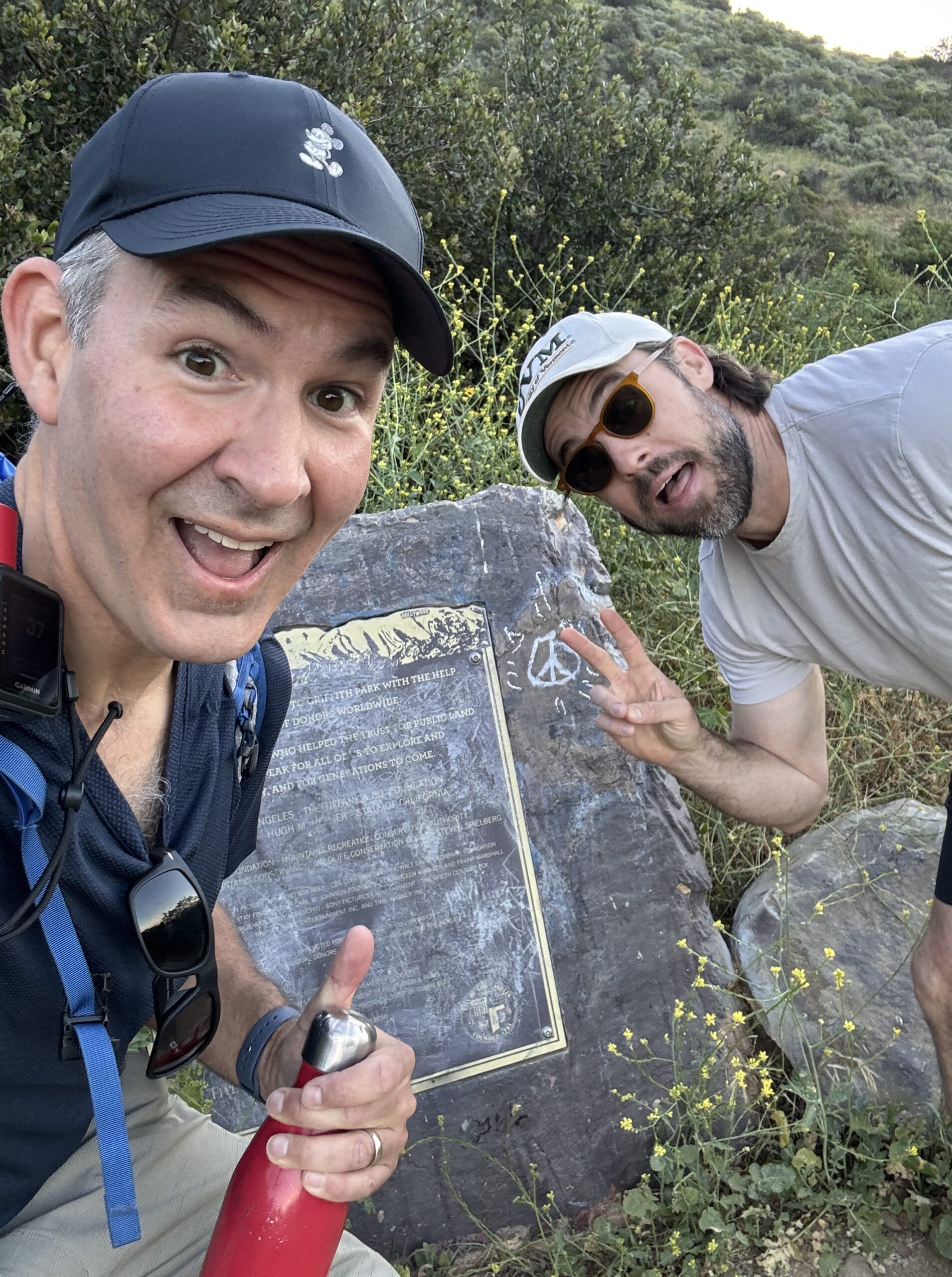
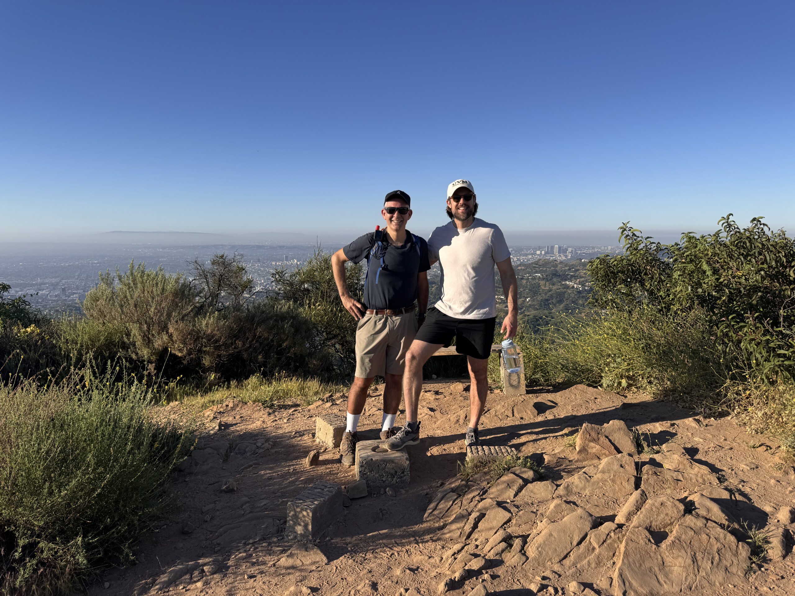
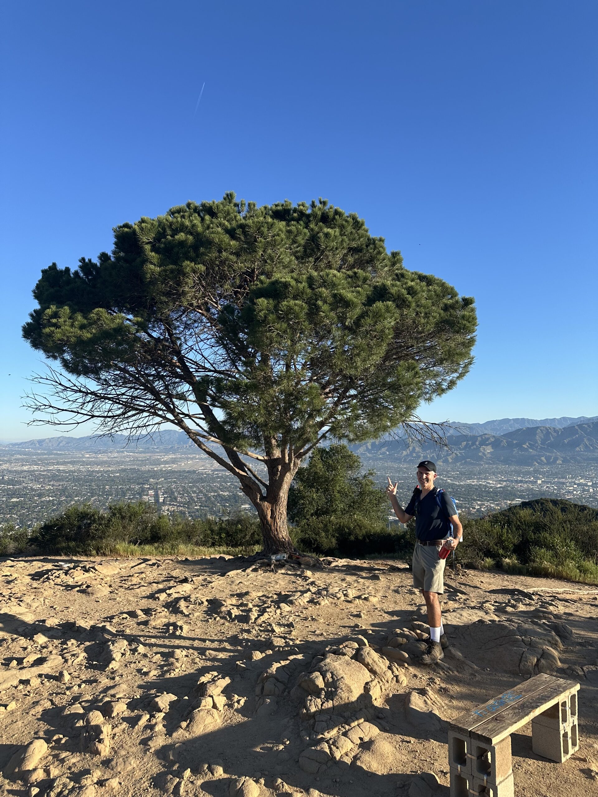
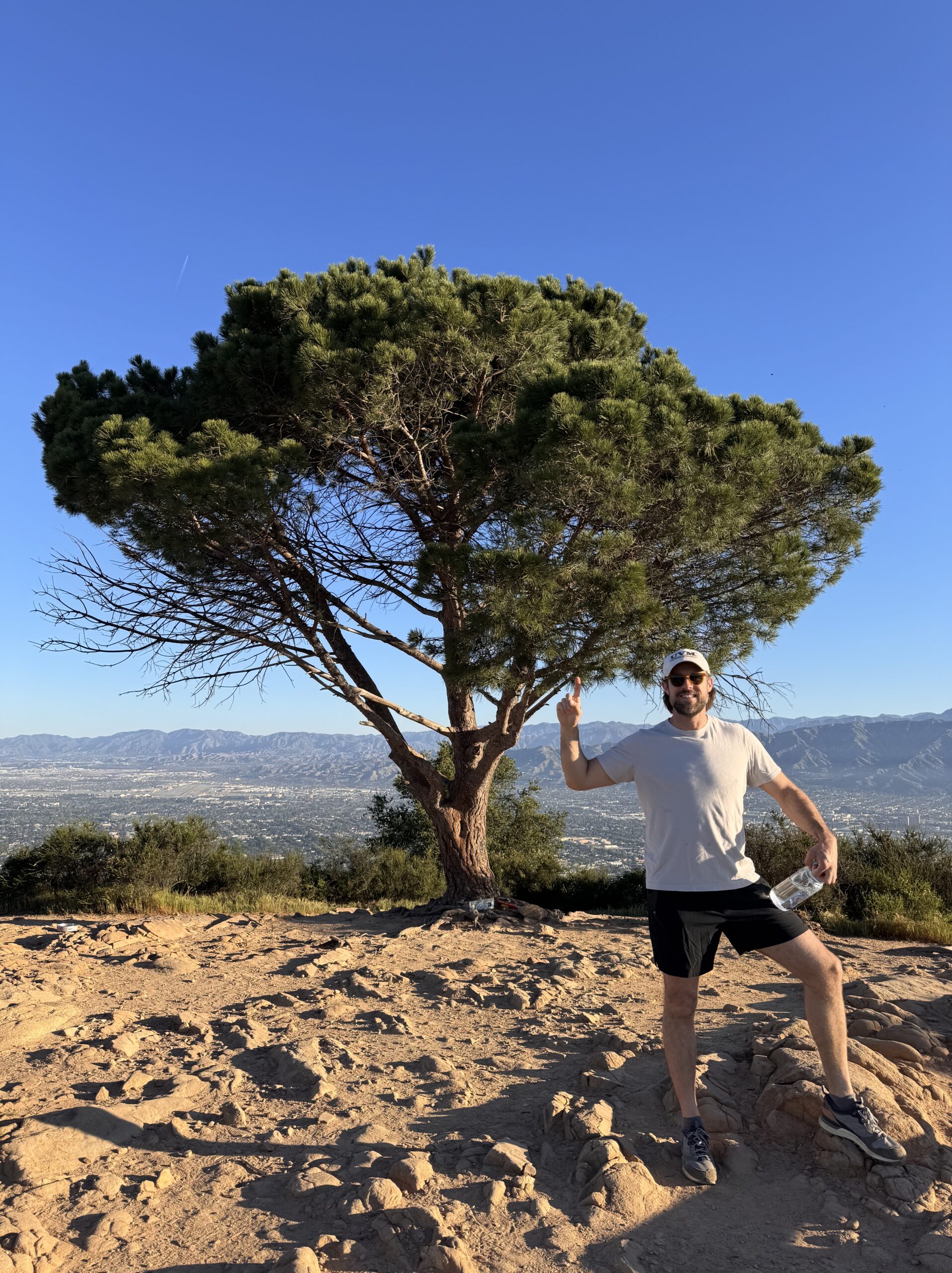
What a beautiful day for a hike! My friend Chris W tagged along to see what Summits on the Air is all about! He, like many others in my personal life, are always full of questions when I bring up ham radio. It is always nice when friends take interest in some of my nerdy hobbies 🙂 My co-activators Mark K3MGM, and Edward KO6DVZ weren’t able to make it for this planned outing.
The forecast was 96 degrees today, so we got an early start on the trail to beat the heat. The Southside of the mountain was mostly in the shade for the start of our hike while a small marine layer kept the trail cool. As the sun rose, we could feel the heat starting so set in.
A G3 class solar storm is hitting earth today so I knew that HF operations would probably be futile. Given the coming heat, and possibly poor operating conditions, I decided to focus today on 2m weak signal modes SSB and CW (morse code). My goal was to give Chris the ham radio experience vs a walkie talkie style activation on FM mode.
I decided to pack out the ICOM IC-705 to make the 2M band feel a bit more like ham radio than working with an inexpensive HT. This trip reminded me, I don’t really love the IC-705. It’s a heavy radio… no internal HF tuner, and requires an external battery to get full power output. I would turn to my Elecraft KX2 over this radio all day every day over this ICOM… but 2M all mode is what keeps it around in my shack. For this experience, it was worth dragging it out.
Thanks to all who worked us. Chris was a natural on the radio! Only until you put a non-ham on the radio do you realize how much specialized terminology we use the the air. RST signals reports, maidenhead grid squares, and general operating procedure. Chris W got a very down and dirty intro today and he did great! Check out our image gallery and activation stats below.

🏔️ Activation GPS Track
(52m breaks)
📊 How Hike Stats Are Calculated
These figures are derived automatically from your GPX track file.
🥾 Hiking Time & Distance
Time and distance accumulated while moving outside the activation zone at a speed above the stationary threshold (default 0.3 km/h). Periods where you were stopped — waiting at a trailhead, taking a break — are excluded and counted separately as Rest Breaks.
⏸️ Rest Breaks
Stationary periods outside the activation zone lasting longer than the rest threshold (default 3 minutes). Anything shorter is ignored as normal GPS noise or a momentary pause. Rest break time is shown inside the Hiking Time box for reference but is not added to hiking time.
📻 Activation Time
All time spent inside the activation zone, regardless of whether you were moving or stationary. This captures the full period from when you first entered the zone to when you left — including any walking around the summit, setting up gear, and operating.
The activation zone boundary is determined by one of two methods (see below).
⏱️ Total Time
The elapsed time from the first to the last GPS trackpoint in the file. This equals Hiking Time + Activation Time + Rest Breaks + any unclassified transition time at the boundaries.
📈 Elevation Gain & Loss
The cumulative altitude gained and lost across all trackpoints. Each uphill step between consecutive points adds to gain; each downhill step adds to loss. Out-and-back routes will show roughly equal gain and loss.
🚶 Hiking Speed
Average speed calculated as Hiking Distance ÷ Hiking Time. Only moving segments outside the activation zone are included, so rest stops and summit time do not drag the average down.
⛰️ Peak & Base Elevation
The highest and lowest elevation values recorded in the GPS track. The highest point is also used as the starting reference for the activation zone when the API method is used.
📍 Activation Zone Methods
API-based zone (currently active): The boundary is retrieved from activation.zone using Digital Elevation Model (DEM) terrain data and the official SOTA rule — the zone extends to where the terrain drops 25 metres below the summit. This is the most accurate method and matches what SOTA adjudicators use.
🗺️ Contact Map
📡 Activation Logbook
| Date | Time | Callsign | Frequency | Mode | My Summit | Their Summit | Comments |
|---|---|---|---|---|---|---|---|
| March 20, 2026 | 1538 | N1CLC | 144.200MHz | SSB | w6/ct-037 | ||
| March 20, 2026 | 1539 | KK6MT | 144.200MHz | SSB | w6/ct-037 | ||
| March 20, 2026 | 1544 | NT6E | 144.200MHz | SSB | w6/ct-037 | ||
| March 20, 2026 | 1549 | AJ6Q | 144.200MHz | SSB | w6/ct-037 | DM14KF | |
| March 20, 2026 | 1552 | K3MGM | 144.200MHz | SSB | w6/ct-037 | ||
| March 20, 2026 | 1555 | K1CT | 144.200MHz | SSB | w6/ct-037 | ||
| March 20, 2026 | 1600 | K1CT | 144.100MHz | CW | w6/ct-037 |
![]()
Leave a Reply