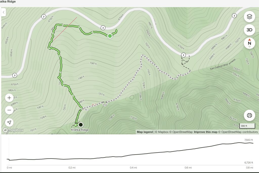
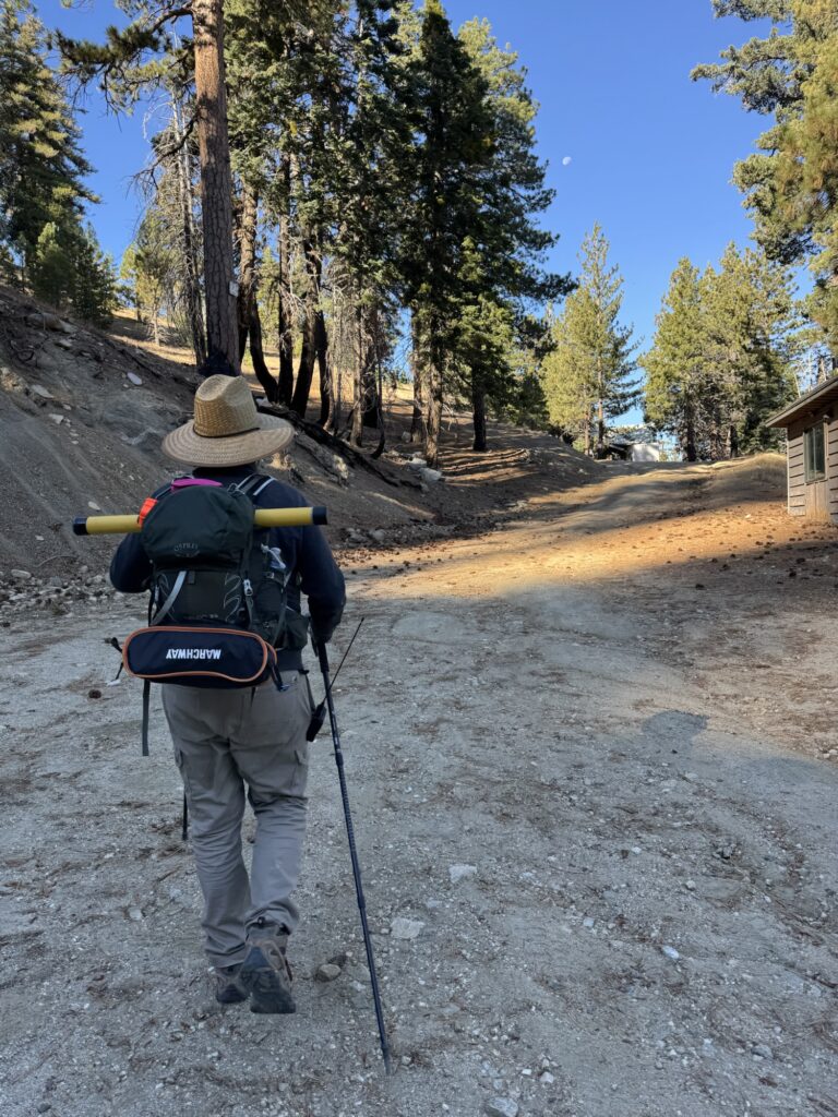
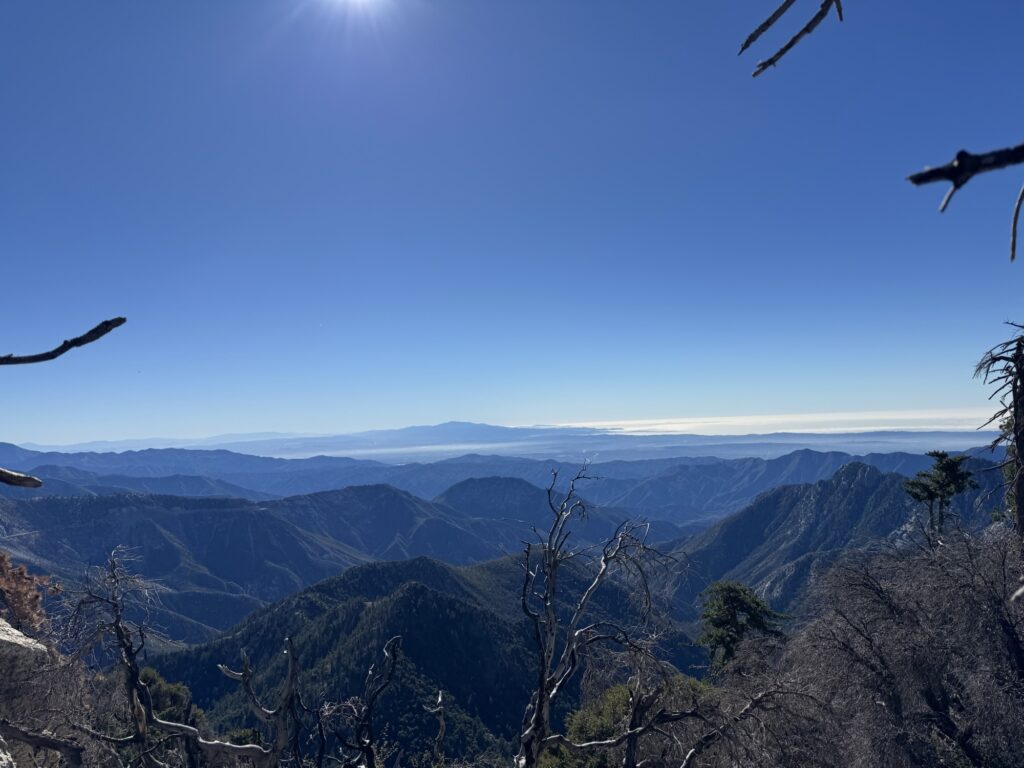
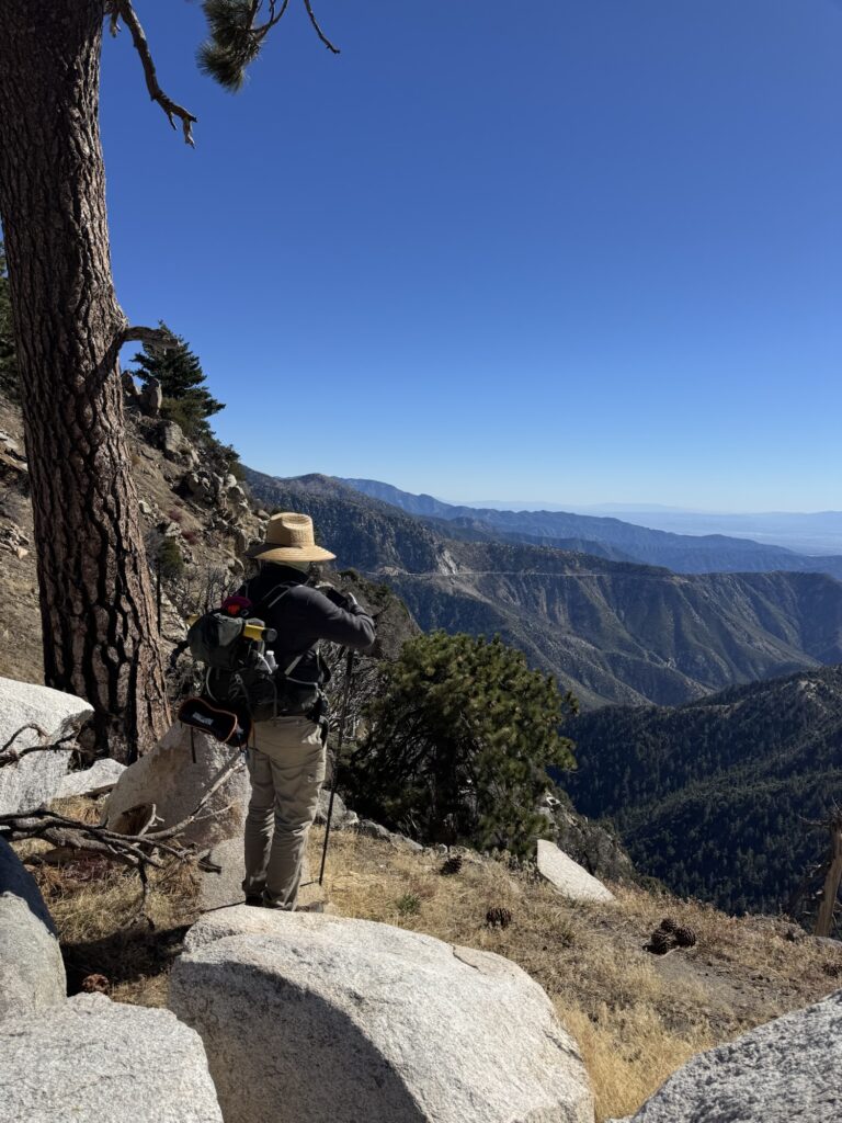
AJ W6CMY and I met at 7 a.m. to head into the Angeles National Forest for an activation. Initially, I thought we might tackle Josephine Peak or attempt a two-for-one with Strawberry Peak and Mount Lawlor. However, we weren’t feeling motivated enough for either. Instead, Kratka Ridge, deeper into the forest, caught my attention. It’s an 8-pointer with a relatively short hike—about 0.8 miles with a 700-foot elevation gain—and despite being steep, it seemed manageable.
Our friend Mark K3MGM usually helps plan our activations because he knows the forest well and has Starlink on his truck, allowing us to access maps and internet even in remote areas. AJ and I, however, didn’t have that luxury this time.
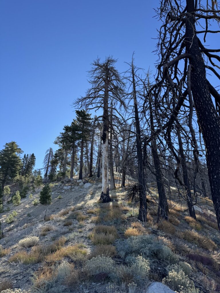
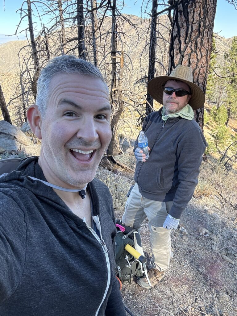
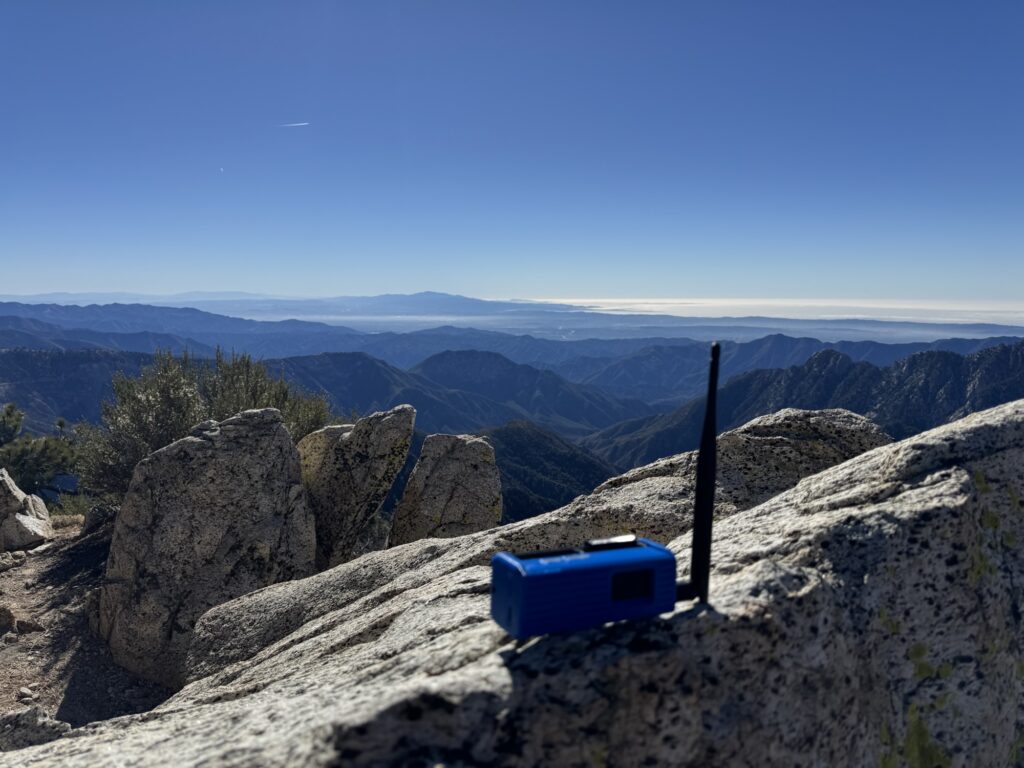
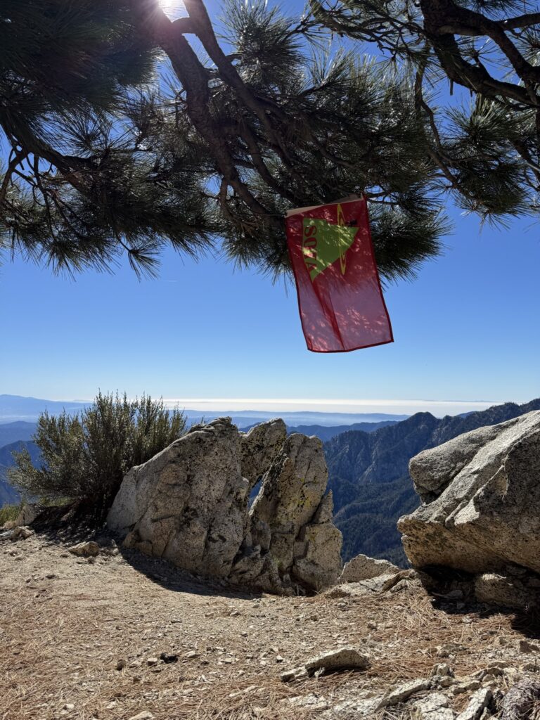
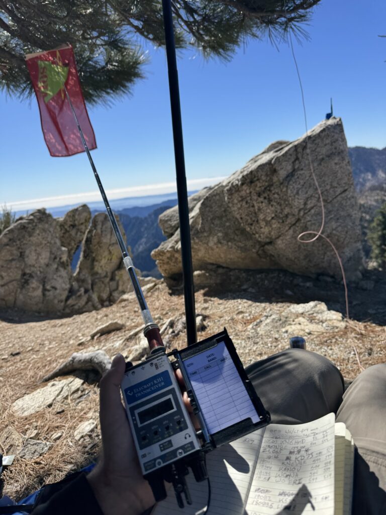
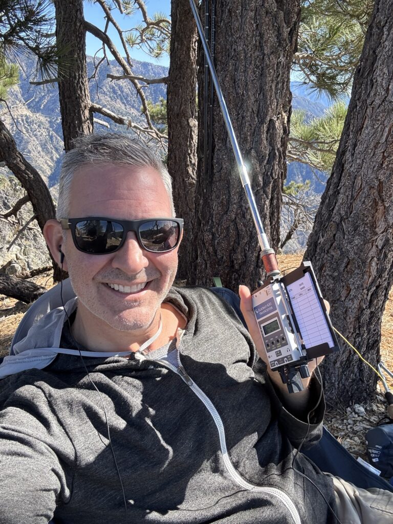
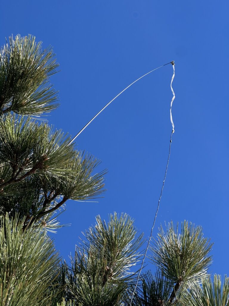
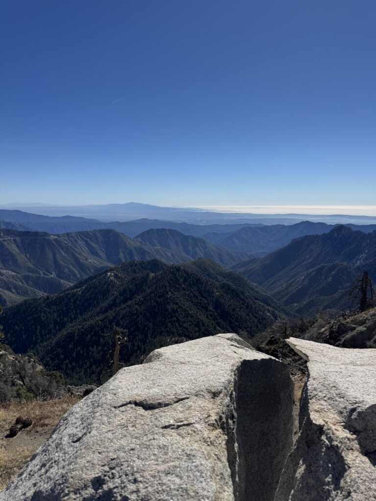
We ended up parking in the wrong spot and couldn’t find the trail. So, we decided to ascend the summit off-trail and improvise. In hindsight, it wasn’t too bad, but the hike took twice as long as we expected. AJ convinced me to bring a small portable camping chair from my car, and I’m glad I did. It was a real treat to have that comfort at the summit, as you’ll see in the photos. We enjoyed a luxurious activation with mid-60s temperatures and plenty of pine shade at the top.
Don’t hire us to find the trail.


🏔️ Activation GPS Track
(2h 13m breaks)
📊 How Hike Stats Are Calculated
These figures are derived automatically from your GPX track file.
🥾 Hiking Time & Distance
Time and distance accumulated while moving outside the activation zone at a speed above the stationary threshold (default 0.3 km/h). Periods where you were stopped — waiting at a trailhead, taking a break — are excluded and counted separately as Rest Breaks.
⏸️ Rest Breaks
Stationary periods outside the activation zone lasting longer than the rest threshold (default 3 minutes). Anything shorter is ignored as normal GPS noise or a momentary pause. Rest break time is shown inside the Hiking Time box for reference but is not added to hiking time.
📻 Activation Time
All time spent inside the activation zone, regardless of whether you were moving or stationary. This captures the full period from when you first entered the zone to when you left — including any walking around the summit, setting up gear, and operating.
The activation zone boundary is determined by one of two methods (see below).
⏱️ Total Time
The elapsed time from the first to the last GPS trackpoint in the file. This equals Hiking Time + Activation Time + Rest Breaks + any unclassified transition time at the boundaries.
📈 Elevation Gain & Loss
The cumulative altitude gained and lost across all trackpoints. Each uphill step between consecutive points adds to gain; each downhill step adds to loss. Out-and-back routes will show roughly equal gain and loss.
🚶 Hiking Speed
Average speed calculated as Hiking Distance ÷ Hiking Time. Only moving segments outside the activation zone are included, so rest stops and summit time do not drag the average down.
⛰️ Peak & Base Elevation
The highest and lowest elevation values recorded in the GPS track. The highest point is also used as the starting reference for the activation zone when the API method is used.
📍 Activation Zone Methods
API-based zone (currently active): The boundary is retrieved from activation.zone using Digital Elevation Model (DEM) terrain data and the official SOTA rule — the zone extends to where the terrain drops 25 metres below the summit. This is the most accurate method and matches what SOTA adjudicators use.
🗺️ Contact Map
📡 Activation Logbook
| Date | Time | Callsign | Frequency | Mode | My Summit | Their Summit | Comments |
|---|---|---|---|---|---|---|---|
| November 9, 2025 | 1803 | KN6HMD | 146.580MHz | FM | W6/CT-014 | ||
| November 9, 2025 | 1807 | NT6E | 146.580MHz | FM | W6/CT-014 | ||
| November 9, 2025 | 1836 | KD7J | 21.065MHz | CW | W6/CT-014 | ||
| November 9, 2025 | 1841 | KN6VQR | 21.065MHz | CW | W6/CT-014 | ||
| November 9, 2025 | 1844 | K6NOV | 21.065MHz | CW | W6/CT-014 | ||
| November 9, 2025 | 1849 | W0MNA | 21.065MHz | CW | W6/CT-014 | ||
| November 9, 2025 | 1851 | W0ERI | 21.065MHz | CW | W6/CT-014 | ||
| November 9, 2025 | 1855 | K5ZM | 18.082MHz | CW | W6/CT-014 | ||
| November 9, 2025 | 1911 | WA2USAS2S | 18.093MHz | CW | W6/CT-014 | W0C/SP-130 | |
| November 9, 2025 | 1922 | N0DNFS2S | 14.067MHz | CW | W6/CT-014 | W7I/CI-085 | |
| November 9, 2025 | 1930 | W6LOR | 146.580MHz | FM | W6/CT-014 | ||
| November 9, 2025 | 1931 | K6STR | 146.580MHz | FM | W6/CT-014 |
![]()
Leave a Reply