
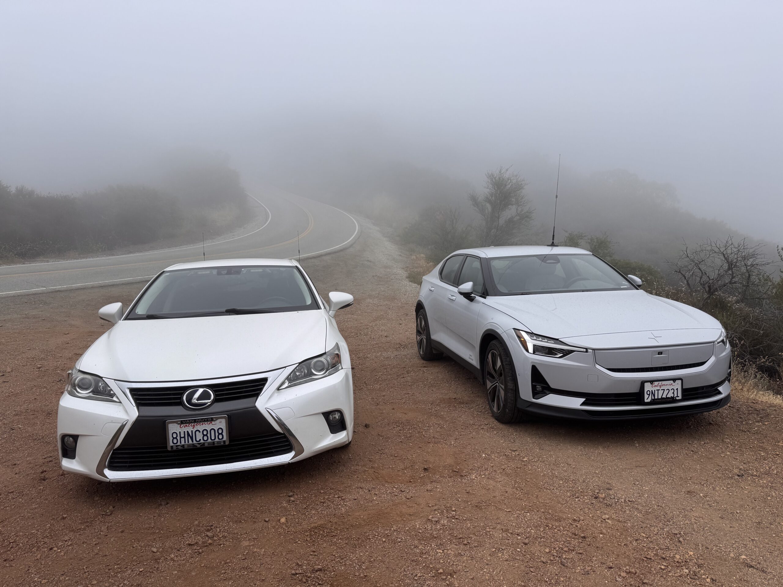
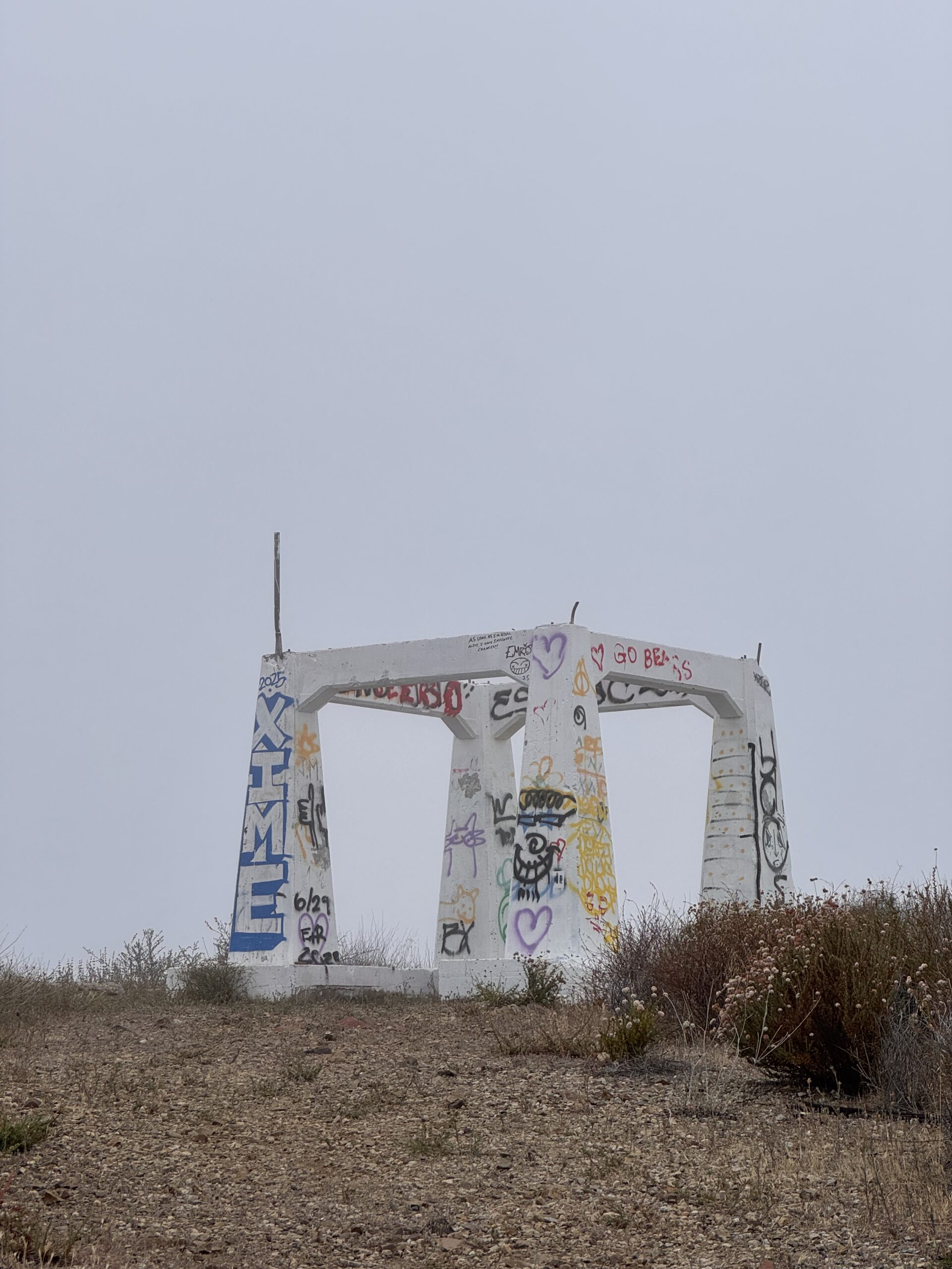
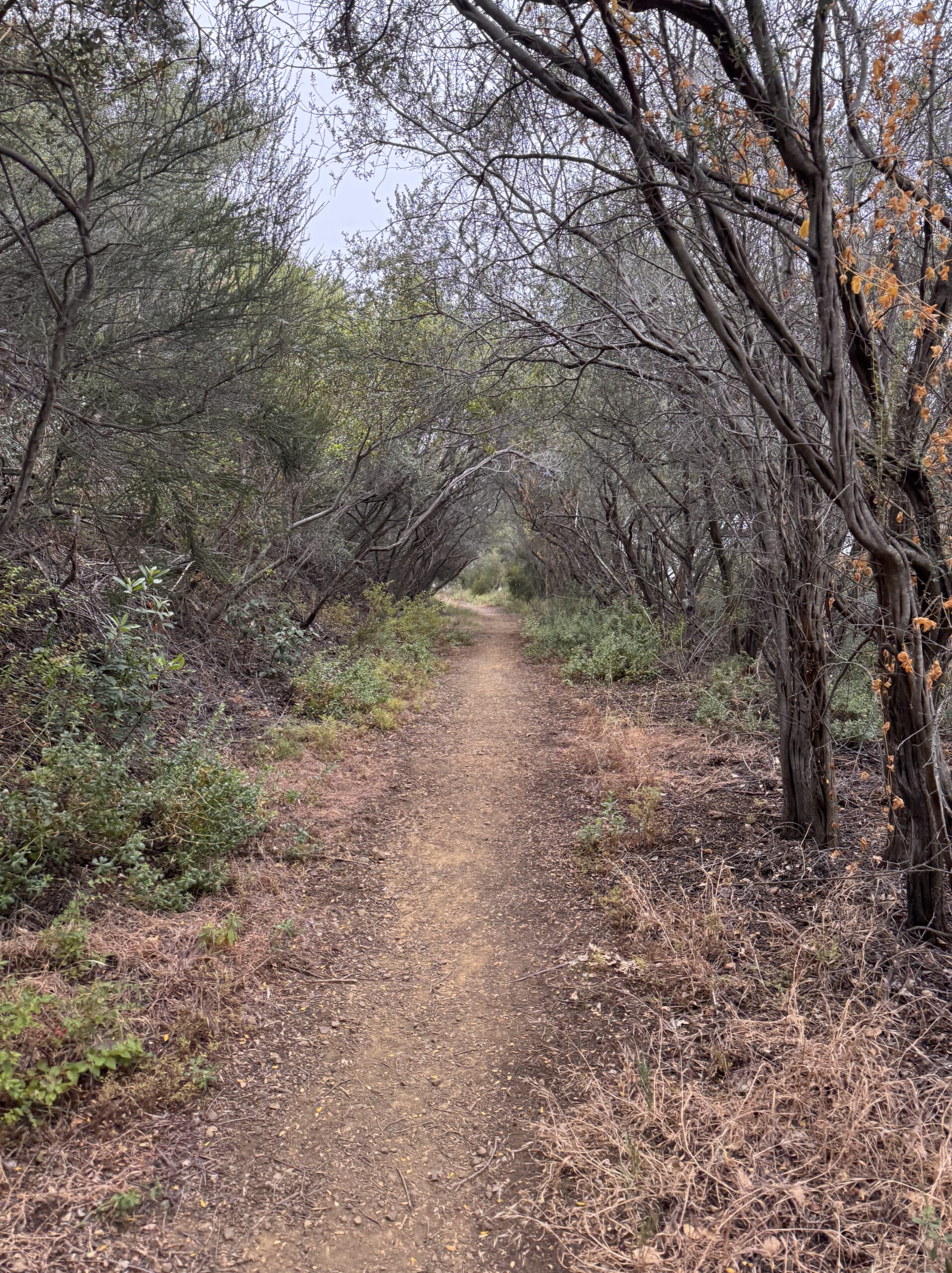
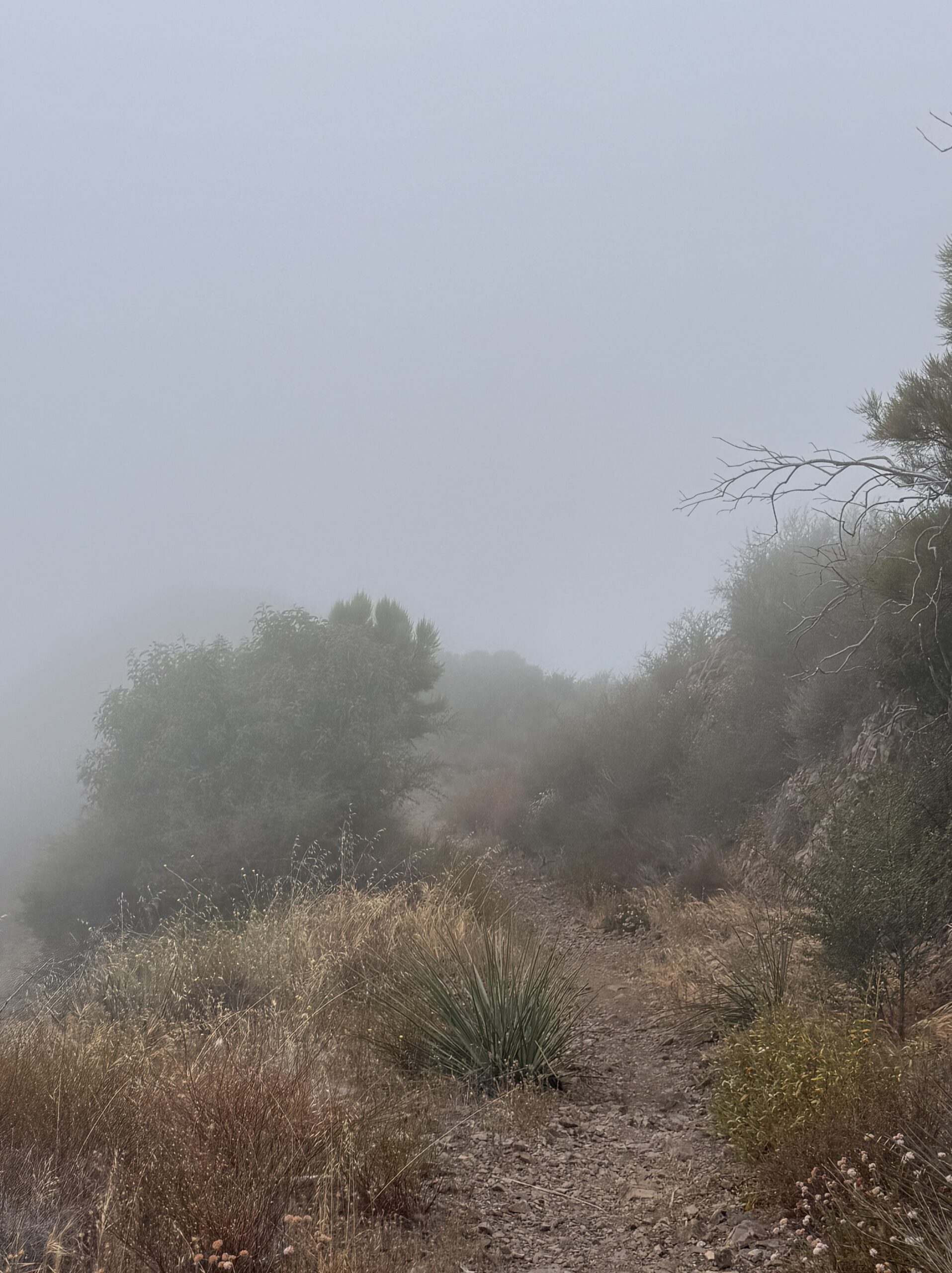
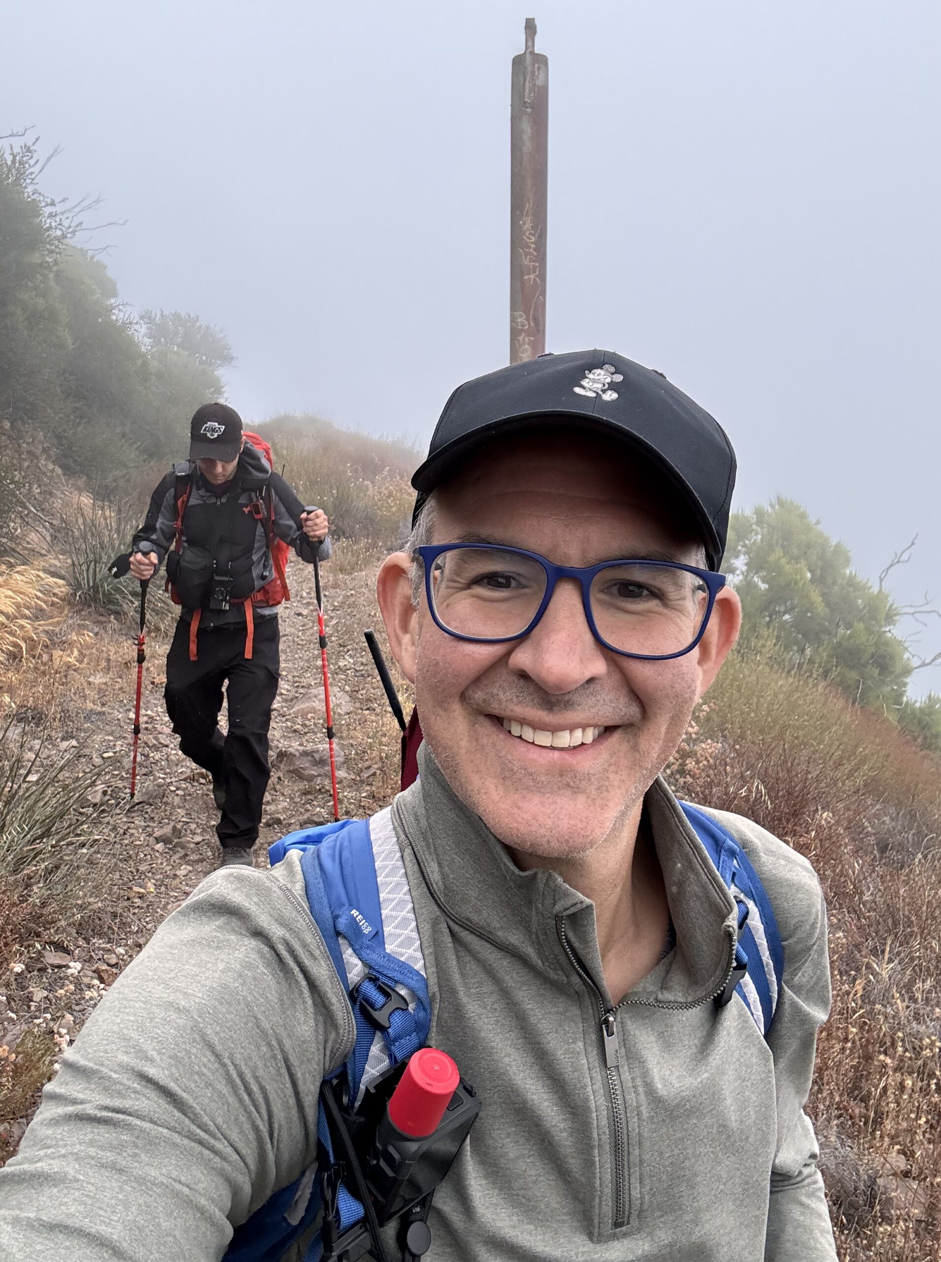
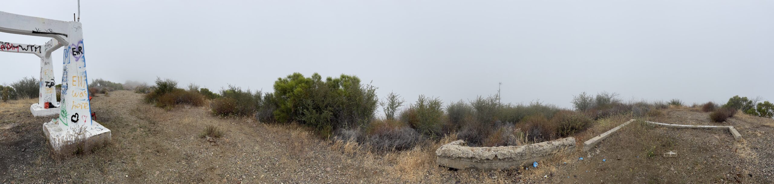
My buddy Edward KO6DVZ joined me for a Friday Morning activation at the Triunfo Lookout in the Santa Monica Mountains. We’ve been here before, and recalled that the ‘hike’ was more of an uphill walk and light effort. The cloud cover was heavy this morning, with about 50 feet of visibility. If you were hiking this trail for a great view, you’d have been incredibly disappointed 🙂
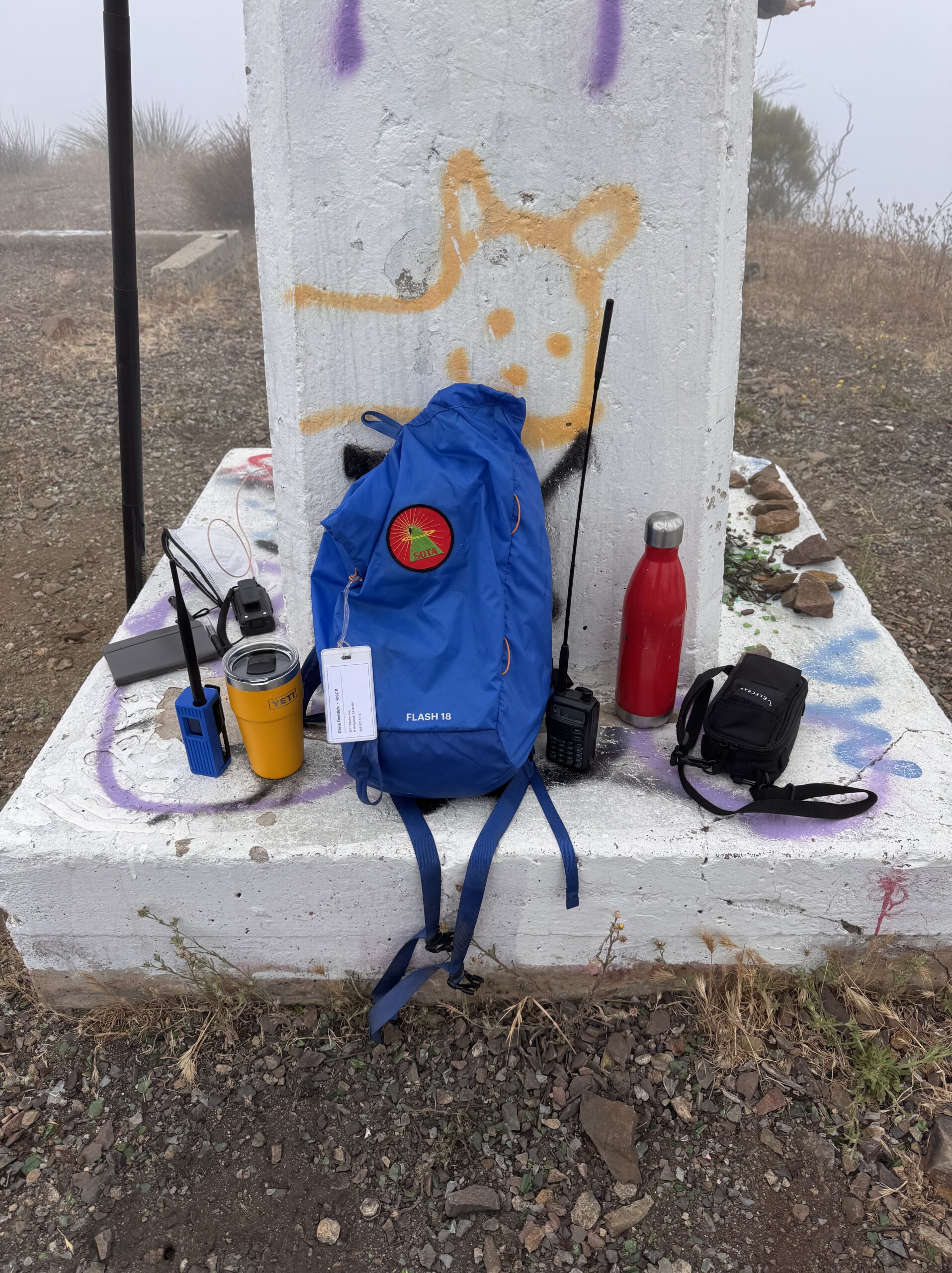
I decided to switch things up a little bit and use my ICOM IC-T8A to kick off the activation on 6m FM. Calling CQ on 52.525, I hoped at least someone local might be able to pick me up. Huston KK6WT came on frequency looking for me after seeing my spot, but wasn’t able to copy. I heard him 59+ armchair copy on the HT. Unlike most summits, this peak has ample cell coverage. Huston texted me and we quickly realized that I wasn’t getting out. I had tested this radio and antenna combo at home and it worked via simplex… but I was standing right next to the radio. I don’t have a great way to test this rig to see what type of power output there way. Huston also suggested a counterpoise which was a great idea. I will work on that for next time.
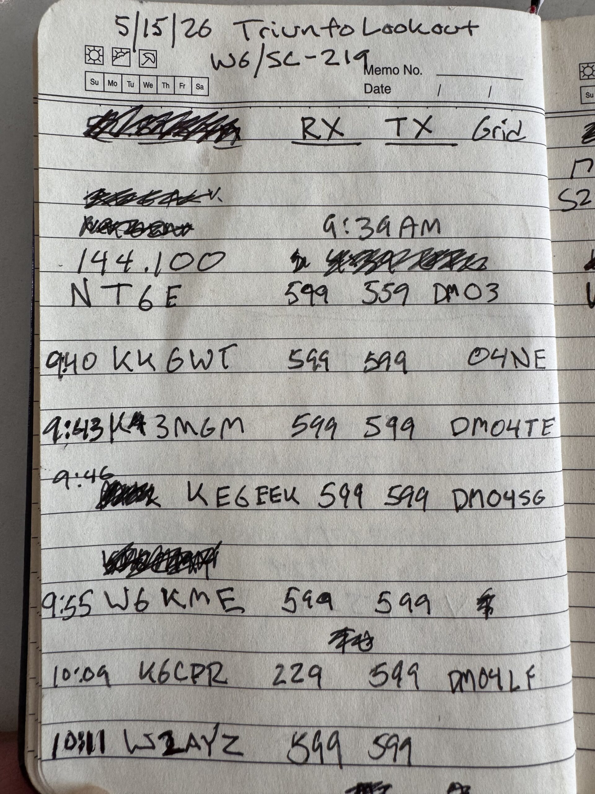
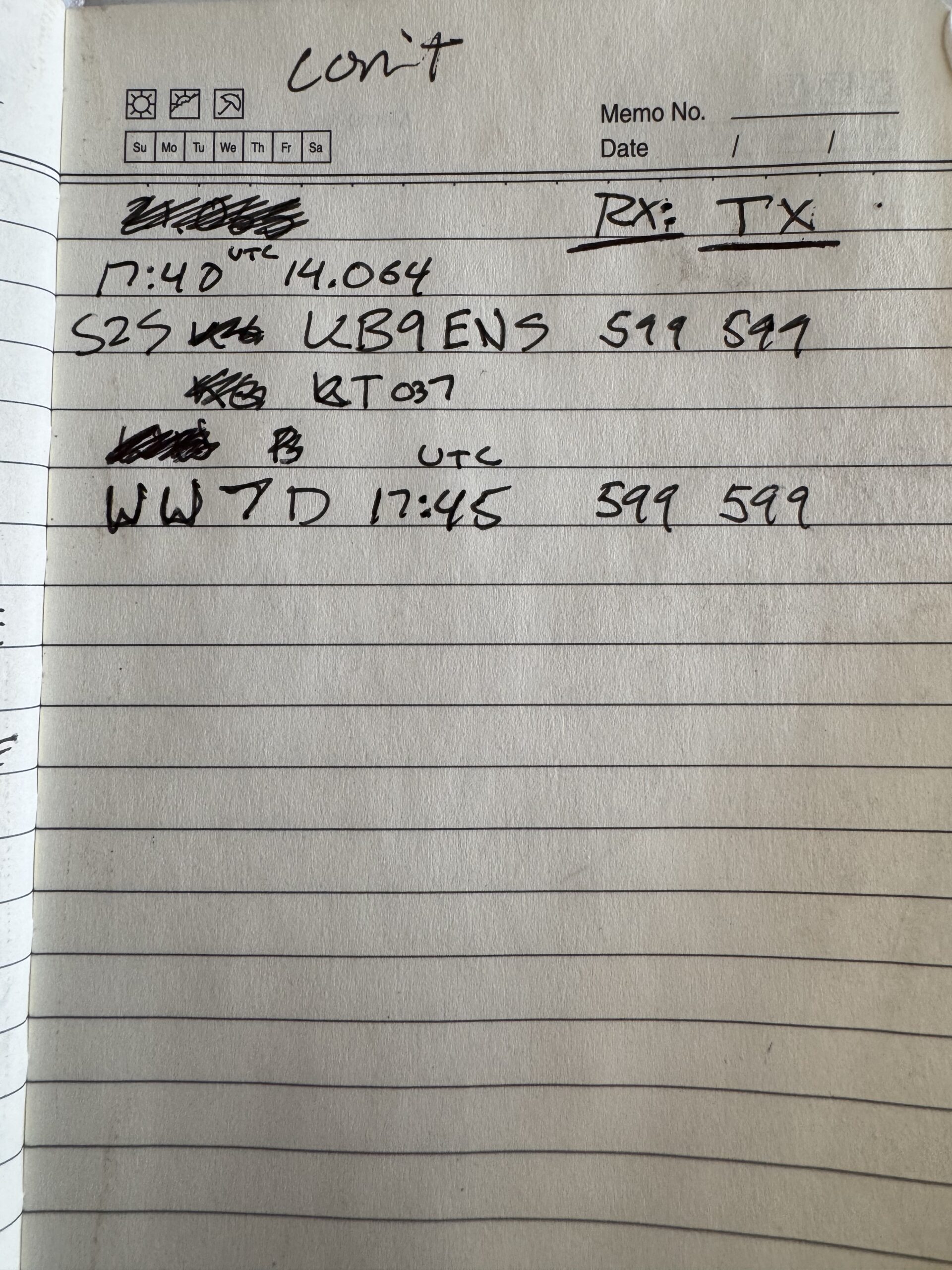
I spent the day on CW after that. Starting on 2m with my Quansheng HT, worked the local chasers and then switched off to 20m with the Electraft KH1. I later learned a solar storm had hit hardest while we were on summit, which explained the quiet bands. I did however catch a Summit 2 Summit contact from down the highway via KB9ENS who was on Cahuenga Peak W6/CT-037.
Edward worked some 10m SSB and some 2M FM from his mobile HF rig.
A quick side note, I did bring my MESHCORE node with me, and had great success making easy contact in the #hamradio channel with NT6E at home.
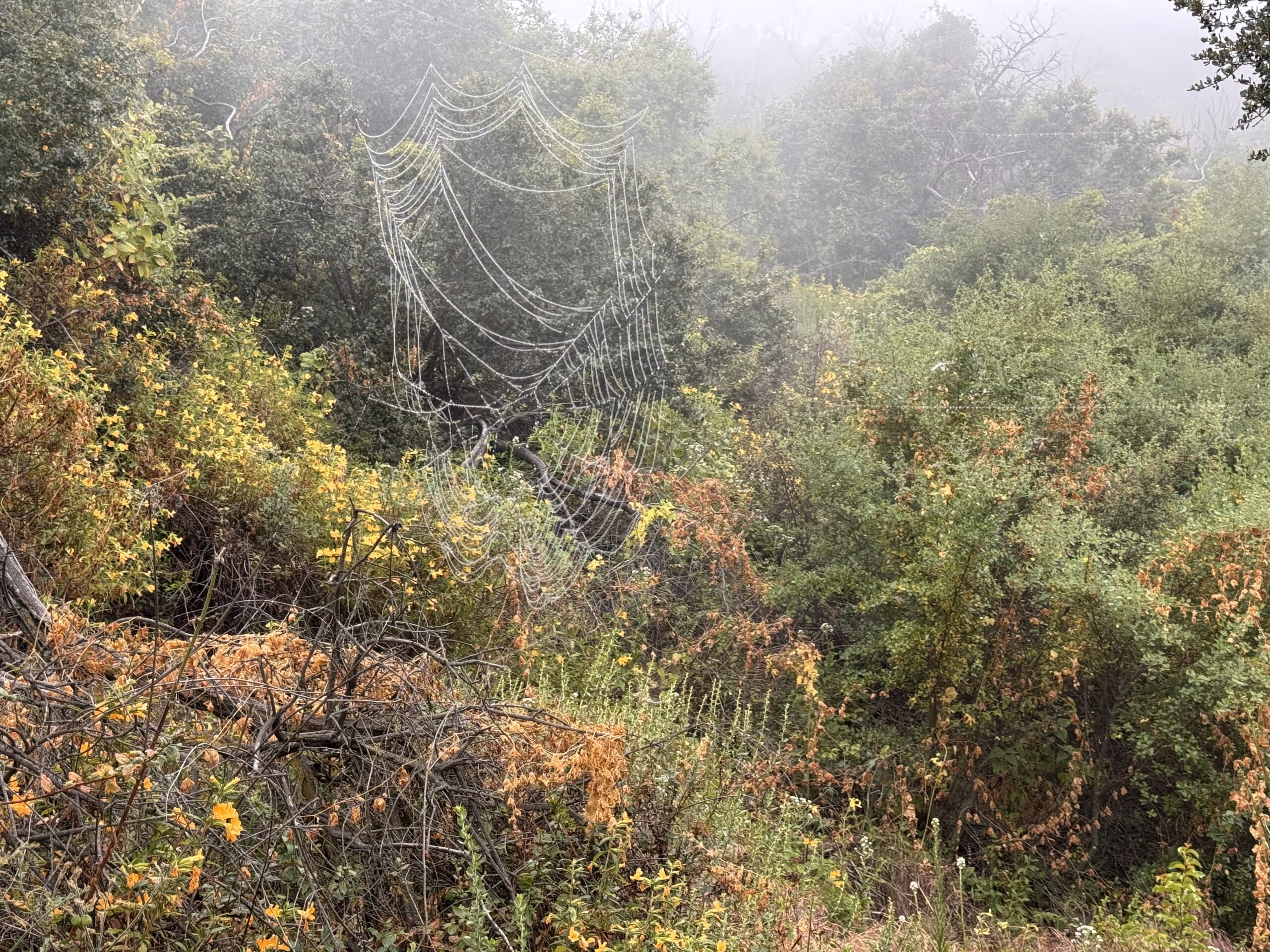
The fog was heavy, and everything we had with us got wet. I keep a trash bag in my pack and decided to use it as a temporary moisture barrier for all my stuff.
A great day to be out for a hike. I know this will seem lame to most activators, but I am excited to be working closer and closer to 100 SOTA points. As a casual activator, the road to GOAT will be a long one.

Activation Hike Path
How Hike Stats Are Calculated
These figures are derived automatically from your GPX track file.
Hiking Time & Distance
Time and distance accumulated while moving outside the activation zone at a speed above the stationary threshold (default 0.3 km/h). Periods where you were stopped — waiting at a trailhead, taking a break — are excluded and counted separately as Rest Breaks.
Rest Breaks
Stationary periods outside the activation zone lasting longer than the rest threshold (default 3 minutes). Anything shorter is ignored as normal GPS noise or a momentary pause. Rest break time is shown inside the Hiking Time box for reference but is not added to hiking time.
Activation Time
All time spent inside the activation zone, regardless of whether you were moving or stationary. This captures the full period from when you first entered the zone to when you left — including any walking around the summit, setting up gear, and operating.
The activation zone boundary is determined by one of two methods (see below).
Total Time
The elapsed time from the first to the last GPS trackpoint in the file. This equals Hiking Time + Activation Time + Rest Breaks + any unclassified transition time at the boundaries.
Elevation Gain & Loss
The cumulative altitude gained and lost across all trackpoints. Each uphill step between consecutive points adds to gain; each downhill step adds to loss. Out-and-back routes will show roughly equal gain and loss.
Hiking Speed
Average speed calculated as Hiking Distance ÷ Hiking Time. Only moving segments outside the activation zone are included, so rest stops and summit time do not drag the average down.
Peak & Base Elevation
The highest and lowest elevation values recorded in the GPS track. The highest point is also used as the starting reference for the activation zone when the API method is used.
Activation Zone Methods
API-based zone (currently active): The boundary is retrieved from activation.zone using Digital Elevation Model (DEM) terrain data and the official SOTA rule — the zone extends to where the terrain drops 25 metres below the summit. This is the most accurate method and matches what SOTA adjudicators use.
Contact Map
Activation Logbook
My Summit: W6/SC-219
| Date / Time | Callsign | Frequency | Mode | Their Summit | Comments |
|---|---|---|---|---|---|
| May 15, 2026 1639 | NT6E | 144.100MHz | CW | ||
| May 15, 2026 1640 | KK6WT | 144.100MHz | CW | ||
| May 15, 2026 1643 | K3MGM | 144.100MHz | CW | ||
| May 15, 2026 1646 | KE6FEK | 144.100MHz | CW | ||
| May 15, 2026 1655 | W6KME | 144.100MHz | CW | ||
| May 15, 2026 1709 | K6CPR | 144.100MHz | CW | ||
| May 15, 2026 1711 | W2AYZ | 144.100MHz | CW | ||
| May 15, 2026 1740 | KB9ENSS2S | 14.064MHz | CW | W6/CT-037 | |
| May 15, 2026 1745 | WW7D | 14.064MHz | CW |

Leave a Reply